January 26
Map Concepts for Young Learners
0 comments
Hands-on geography activity maps kids & teachers
Here at Maps for the Classroom, we know it is never too early to introduce geography concepts to young learners! There are many fun ways for students in Grades 1 to 4 know more about their world.

As we all know, kids like to learn about new things and new places! Use their natural curiosity to introduce geography concepts.
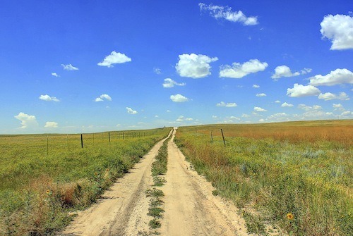
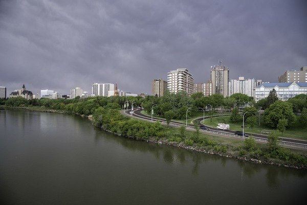
Just comparing different locations can start a great geography discussion. For instance, what is the different between URBAN and RURAL?
Kids love books that present concepts in a fun way. This one, published by National Geographic, a good one!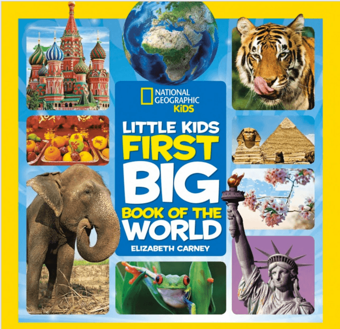
Locate those creatures kids love in their natural habitats. Introduce the concept of PLACE, and also CLIMATE. Don’t forget to compare how different these places might be from where your students live!
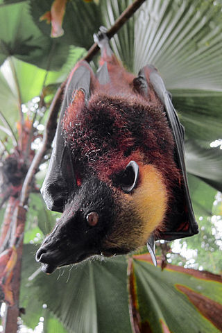
The large Golden Crowned Flying fox is from Mindanao in the Philippines. It comes from a ISLAND within a COUNTRY made up of a total of 7,107 islands. He thrives in a TROPICAL climate where there is no cold winter.
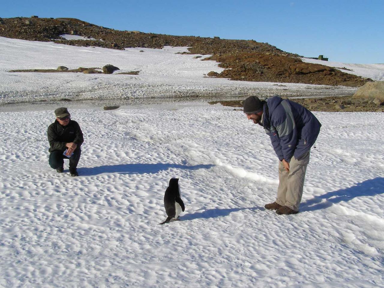
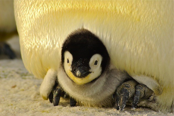
All kids love penguins! Introduce that they live in a frozen DESERT of the CONTINENT of ANTARCTICA.
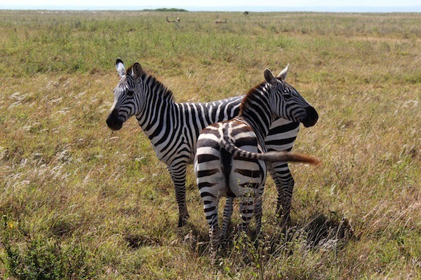
Most kids might have seen a wonderful striped zebra in the zoo.
Let them know that plains zebras come from the CONTINENT of AFRICA, in the COUNTRY of Tanzania, in dry grassy SAVANNAH where few trees grow.
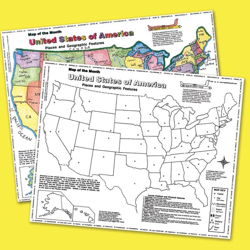
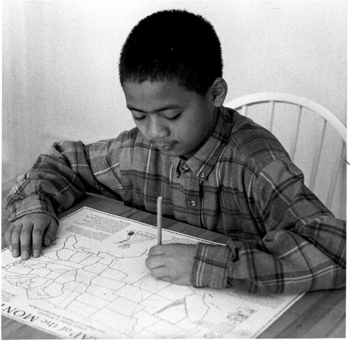
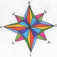
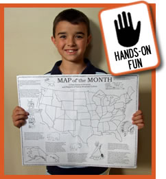
MAP-MAKING IS FUN, especially if the map is large, for a lot of room to add color and detail! These maps shown HERE, are a BIG 16″ X 20″!
Wall maps and atlases do not make as large an impression as when students act as “cartographers” by completing their own maps.
Kids use tablets? Combine and reinforce computer skills with geography. After working on hands-on maps, compare Google maps to the location the student has worked on!
Kids love fun FOOD! Connecting favorite flavors or unusual foods to places is one way to start young learners thinking about PLACE!
For instance, most kids know about sushi. Do they know it comes from the ISLAND COUNTRY of JAPAN, in the PACIFIC OCEAN?
Bento are small meals prepared lunch-box style, in small containers. Bento can resemble animals, video game characters, or people!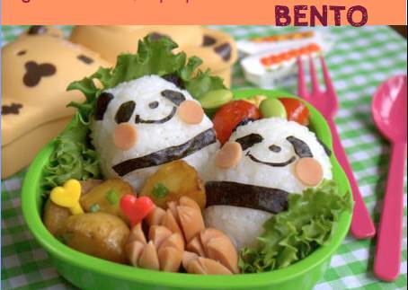
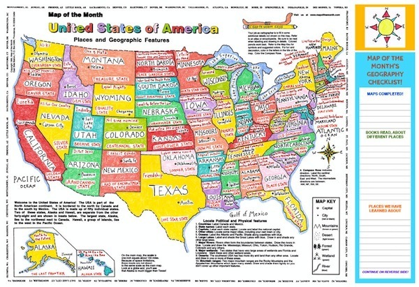
These maps of the USA are a perfect size for a desktop protector, printed on smooth spill-resistant paper. Colorful Place-Maps show the names, capitals, nicknames and mottos of all 50 states.
A list at the side allows students to keep track of their accomplishments during the school year. For example– list concepts learned, books read about different locations, vocabulary words!
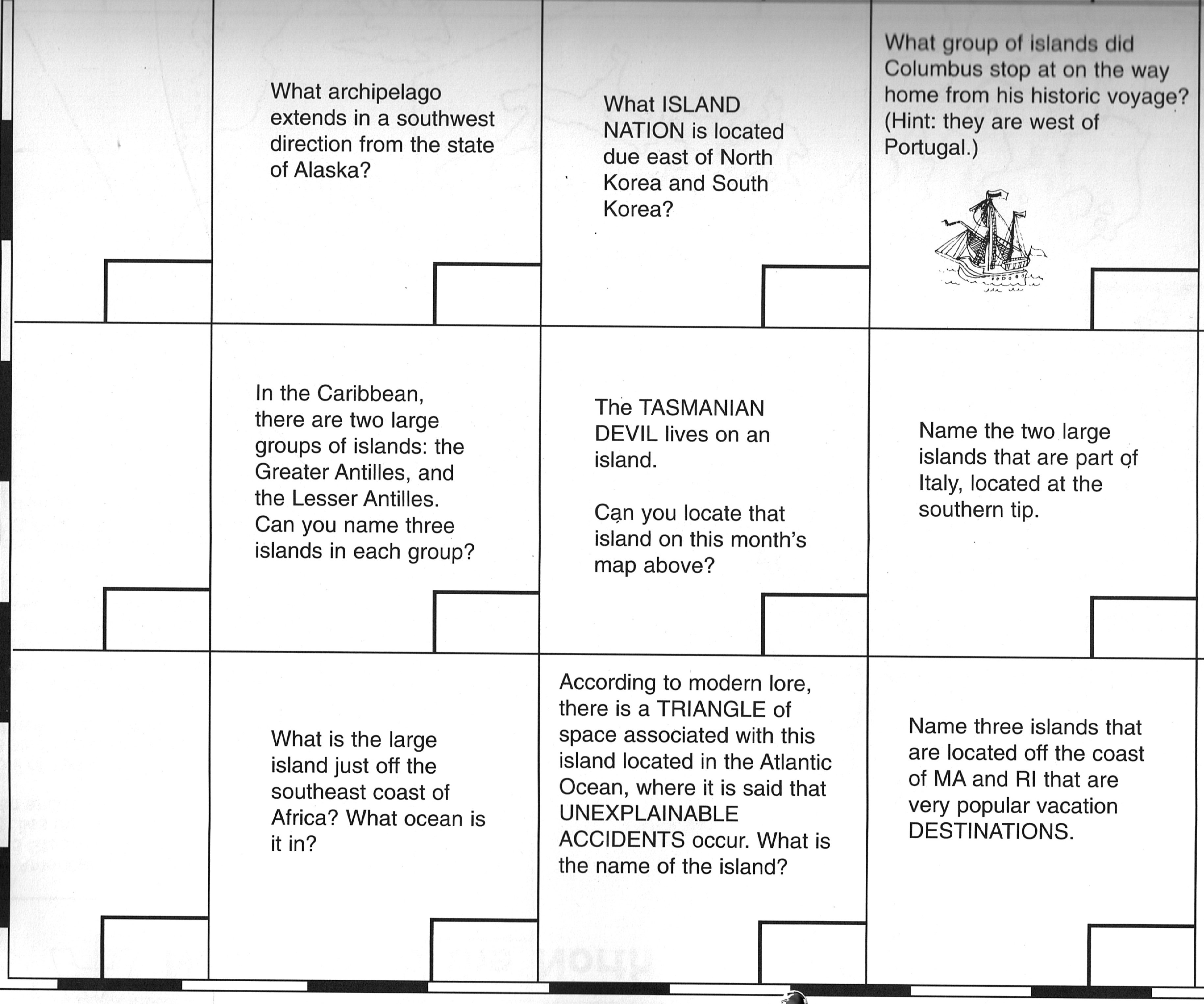
Simple Sketch maps, like “All Around with Professor Earthworm map”, present the continents in a very simple way.

A 14-page PDF “Map Challenge” for this map gives you loads of additional activities just for this map. Useful information about geography, animals and culture! Download the map challenge HERE!
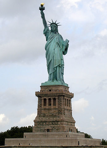
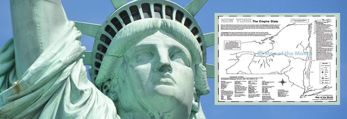
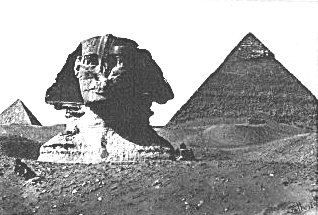
Unusual buildings and structures can be described by LOCATION, to introduce GEOGRAPHY and HISTORY at the same time.
When you refer to a famous structure always be sure to find its place in the world on some kind of map. Here you could use a New York State or NY City map.
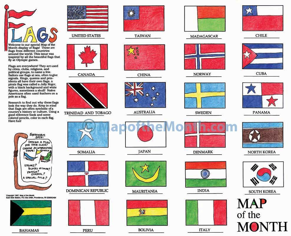
To learn about PLACE, kids find FLAGS appealing! Try a hands-on approach to different countries with a LARGE Flags of the World activity sheet.

Once kids understand what a map is, they benefit from mapping their own surroundings.
How about having kids draw their classroom as a map? Or their neighborhood?
This map shown here represents a fictional town of Oceanside. Activities help kids easily earn to make, read and understand maps. Concepts? — map grid, map key and symbols, and compass rose!
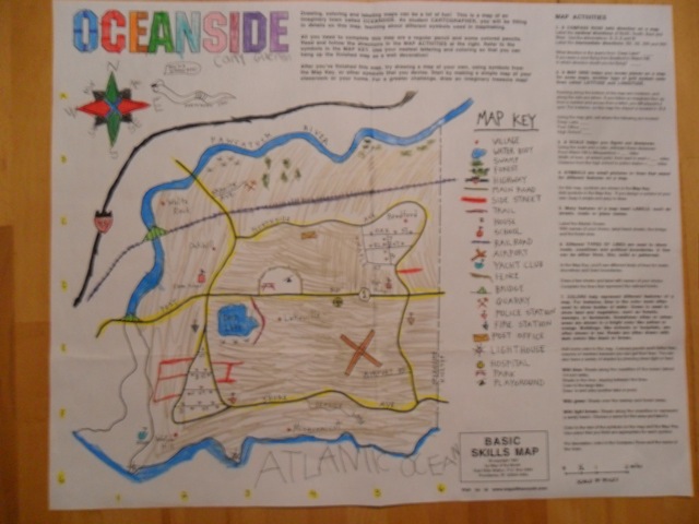
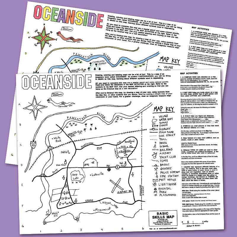
For extra FREE activities, download a free 18-page “Map Challenge” PDF from our site. You and your students can work in-depth with this hands-on activity map. How to draw a compass rose, and a feature about bikes — get kids excited. Get the free download HERE.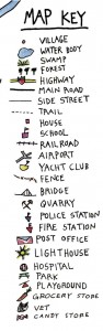
Maps that go along with reading projects are always a way to combine literacy with geography studies. Here is a fun book for young readers — it works well with a hands-on TREASURE MAP!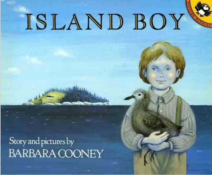
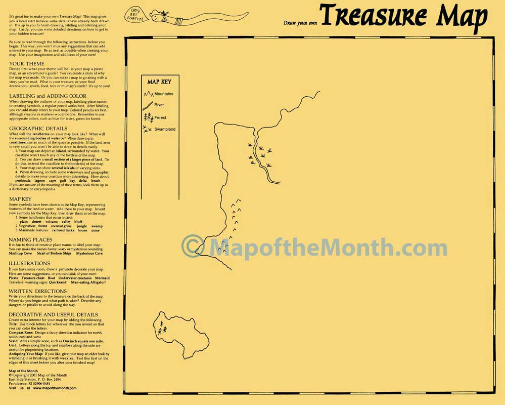
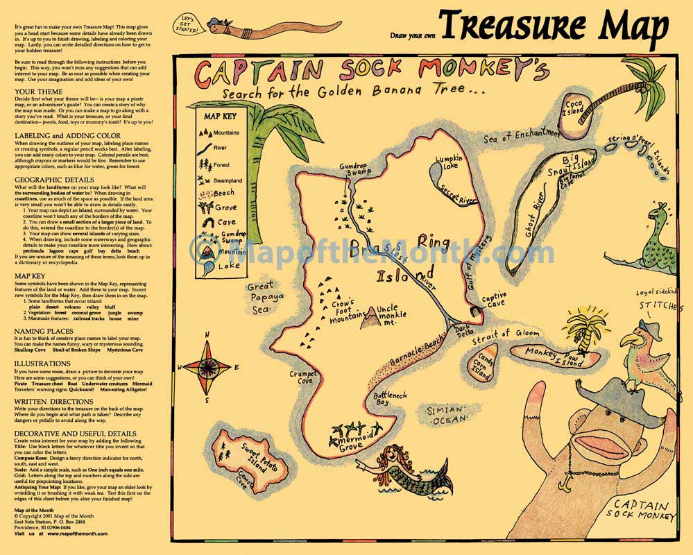
When a book is in your curriculum, try to find ways to make a map part of your literacy work. Can you tie in a USA or a STATE map? Or a REGION or COUNTRY map? No matter what the grade level, hands-on maps helps students locate story and characters in a PLACE.
Want an EASY way to talk about geography concepts every day? The Geography Question of the Day Perpetual Calendar encourages a short daily discussion. This 12-month presentation features a geography-related question for every weekday of the year.
Daily questions are geared toward all grade levels. Questions are progressive — start with basic concepts in September, move towards more complex geography concepts as the year progresses.
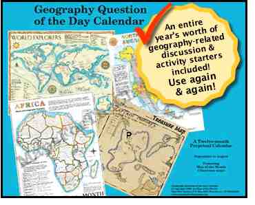
DAILY, in a few minutes, your students can use to learn more about the geography of their state, country and the world they live in!
Consider doing something every day — can you add a touch of geography?
Use LARGE hands-on maps with extra activities to reinforce concepts in a fun way.
Add mapping to your literacy efforts.
Kids REMEMBER CONCEPTS more easily by making and labeling maps!
Introduce simple sketch maps– draw some yourself, you and your students.
All hands-on activity maps are easy to find HERE!
Tags
Session expired
Please log in again. The login page will open in a new tab. After logging in you can close it and return to this page.