No products in the cart.
Hands-on geography activity maps kids & teachers
Get More Mileage Out of Your Maps with CartoCraze Expanded Map Workshops
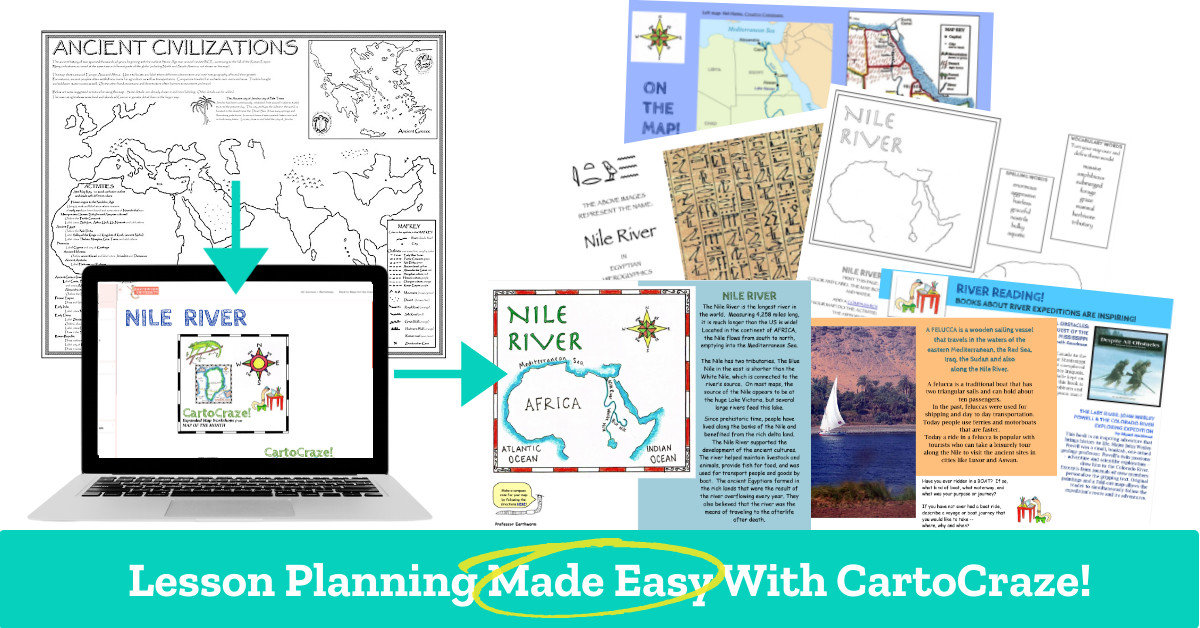
Maximize Student Learning Opportunities
CartoCraze Expanded Map Workshops make connecting your geography lessons with reading, language arts, math, social studies and science EASY!
Despite the wealth of information available online, it is time-consuming and difficult to find suitable content tailored to elementary school levels that can seamlessly integrate geography with other curriculum, leading to missed learning opportunities for students.
With CartoCraze, you get LIFETIME ACCESS to more than 40 workshops containing over 500 activities geared for grades 3-8 that connect the map you are using to additional related content, extending its use across a variety of studies.
The Answer for Time-Strapped Teachers

According to KappanOnline.org, most teachers have 45 minutes or less each day to plan classroom lessons. Adapting to complexities of curricular reforms and meeting the needs of diverse learners in the classroom leaves many teachers scrambling to fit lesson planning into their increasingly time-starved schedules.
CartoCraze helps busy teachers by giving them instant access to over 40 fully-researched, immersive content workshops filled with engaging activities that build practical connections from geography lessons to other studies.
Say goodbye to endless Google searches. Instant lesson plan workshops are a click away.
Inside a CartoCraze Workshop
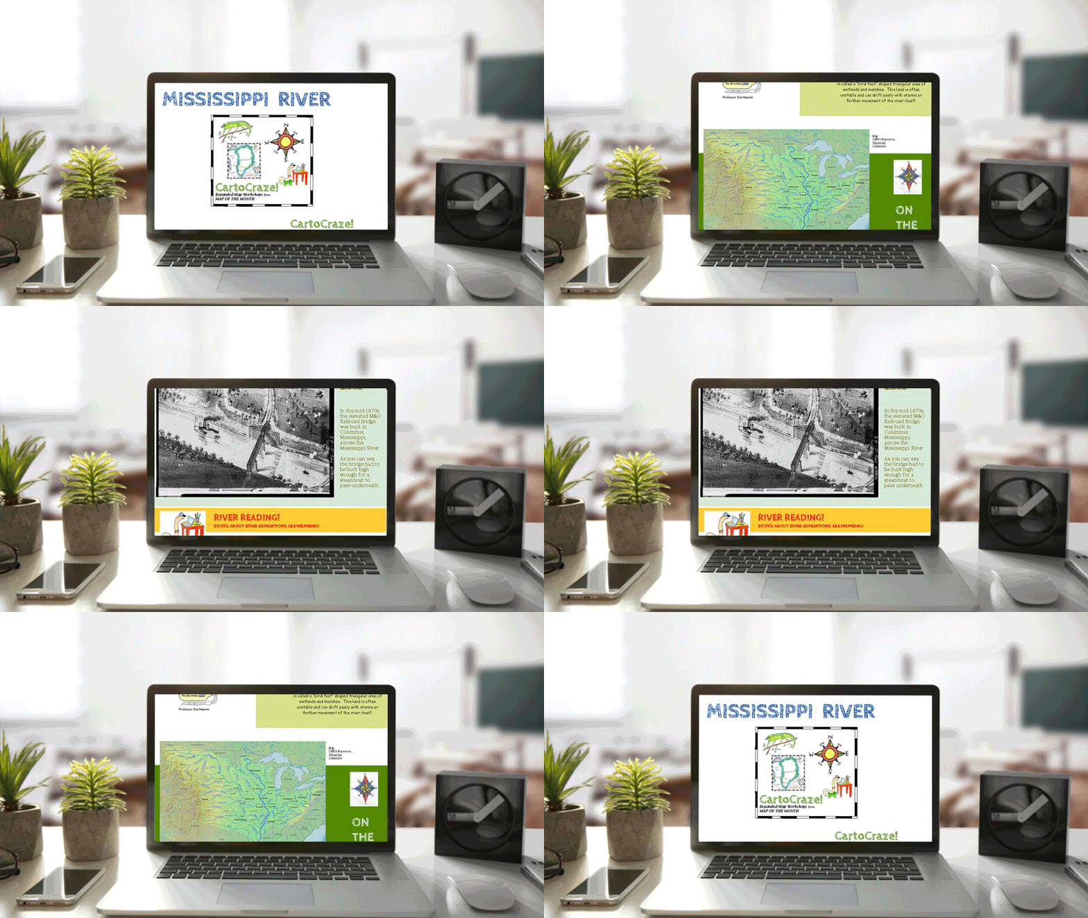
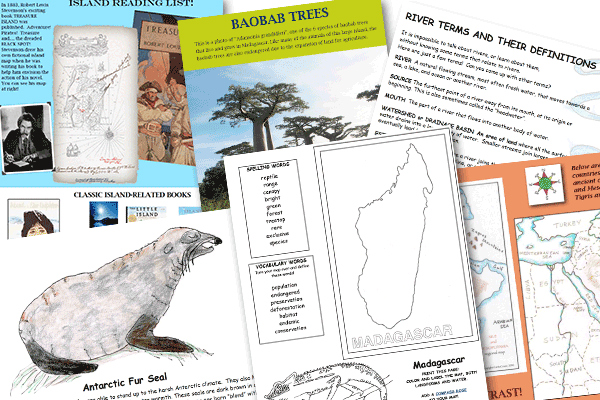
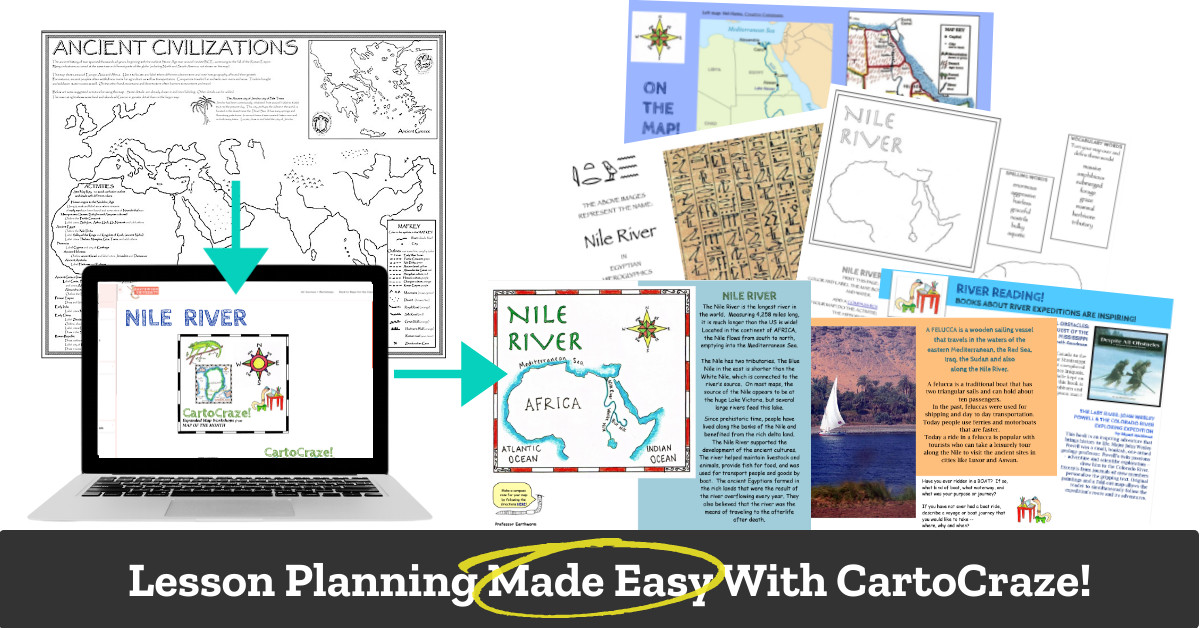
Every CartoCraze downloadable workshop is filled with supplemental content to extend the use of the geography activity map you are working on. Activities in each workshop can be used in individual, group or independent study settings. They can be easily accessed inside our Earthworm University and viewed online, downloaded to a computer or projected for classroom viewing. Each workshop is in PDF format for easy printing of the included coloring printables and vocabulary and spelling worksheets, loads of math, language arts, science and history prompts, and a reading list that ties in with the area being studied.
What's Included
Each CartoCraze Expanded Map Workshop contains:
CartoCraze is conveniently organized into the following four geographic areas:


Rivers
Dive into rivers of the world through 9 expanded map workshops containing over 140 activities.
Amazon River | Mississippi River | Nile River | Rio Grande River |
Tigris & Euphrates Rivers | Volga River | Yangtze River | Yellow River |
Yukon River | Cell |
Mountains
Explore mountain ranges of the world through 10 expanded map workshops containing over 130 activities.
Alps | Andes Mountains | Appalachian Mountains | Atlas Mountains |
Denali | Great Dividing Range | Himalayas | Mount Everest |
Rocky Mountains | Ural Mountains | Cell |
Islands
Investigate islands in the oceans through 16 expanded map workshops containing over 170 activities.
Aleutian Islands | Azores | Bermuda | Canary Islands |
Cuba | Galapagos Islands | Greenland | Hawaii |
Iceland | Japan | Madagascar | Maldives |
New Zealand | Philippines | Sri Lanka | Tasmania |
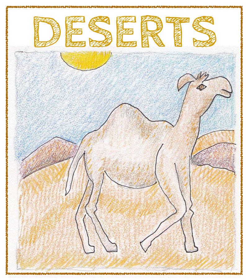
Deserts
Traverse deserts of the world through 8 expanded map workshops containing over 90 activities.
Antarctic Desert | Gobi Desert | Great Sandy Desert | Patagonian Desert |
Rub Al-Khali Desert | Great Dividing Range | Sahara Desert | Sonoran Desert |
Taklamakan Desert | Cell |
These workshops are full of well researched information that students really enjoy. They help connect our geography lessons with a variety of subjects and allow us to get even more use out of our maps.
Why Use CartoCraze?
The Lesson-Planning Shortcut That Busy Teachers Love Using Year After Year
Uplevel Your Geography Lessons With CartoCraze Expanded Map Workshops
Get lifetime access to more than 40 workshops containing over 500 activities geared for grades 3-8 that connect the activity map you are using to additional related content, extending its use across a wide variety of subjects.
Great Value. Lifetime Access!
Frequently Asked Questions
No. CartoCraze is a one-time purchase for individual lifetime access to all 43 expanded map workshops that contain fully researched information, over 500 activities geared for grades 3-8, including delightful wildlife coloring printables and supplemental worksheets.
Because this paid content is for individual lifetime access, we kindly ask that you refrain from sharing or distributing the files. We have priced CartoCraze to make it an accessible and affordable tool for most educators.
Yes! All CartoCraze expanded map workshops are in PDF format, making them easily downloadable and printable. In addition, you can even use them in the classroom with projection equipment.
If you are looking for a particular geographic area, we suggest using the four main categories of rivers, mountains, islands, and deserts. Or, check out Map Integration Helper which shows some of our most popular maps and the CartoCraze workshops that work hand-in-hand with them. You will find there is probably a CartoCraze workshop that will tie in with just about every map we sell, including individual US states.
Once you've purchased CartoCraze lifetime access, you will find all CartoCraze workshop files inside the Earthworm University directly under all of our free resources. You will need to be logged in to access this premium content. Log in to Earthworm University.
You can purchase individual lifetime access for CartoCraze on our secure website here.

